
Ridge and Furrow - Medieval Farming
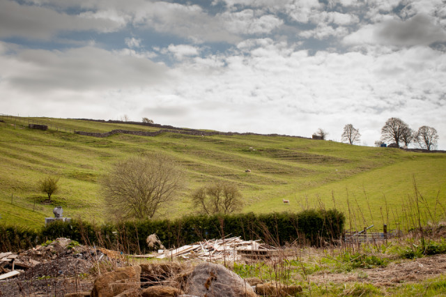
You see quite a few areas around Bakewell like this.
Here's a bit of wiki about them.
Ridge and furrow is an archaeological pattern of ridges (Medieval Latin sliones) and troughs created by a system of ploughing used in Europe during the Middle Ages, typical of the open field system. Other names for this are reans (or reeans) and butts - the rean being the furrow between two butts. Field names using rean exist on Tithe maps. It is also known as Rig (or rigg) and furrow, mostly in the North East of England.
The earliest examples date to the immediate post-Roman period and the system was used until the 17th century in some areas, as long as the open field system survived. Surviving ridge and furrow topography is found in Great Britain, Ireland and elsewhere in Europe. The surviving ridges are parallel, ranging from 3 to 22 yards (3 to 20 m) apart and up to 24 inches (61 cm) tall – they were much taller when in use. Older examples are often curved.
Ridge and furrow topography was a result of ploughing with non-reversible ploughs on the same strip of land each year. It is visible on land that was ploughed in the Middle Ages, but which has not been ploughed since then. No actively ploughed ridge and furrow survives.
The ridges or lands became units in landholding, in assessing the work of the ploughman and in reaping in autumn.[3] Strips were sometimes known as quillets such as those on the Tithe Map of Erbistock in Denbighshire.
148
views
- 0
- 0
- Canon EOS 5D Mark II
- 1/400
- f/9.0
- 35mm
- 250
Comments
Sign in or get an account to comment.


