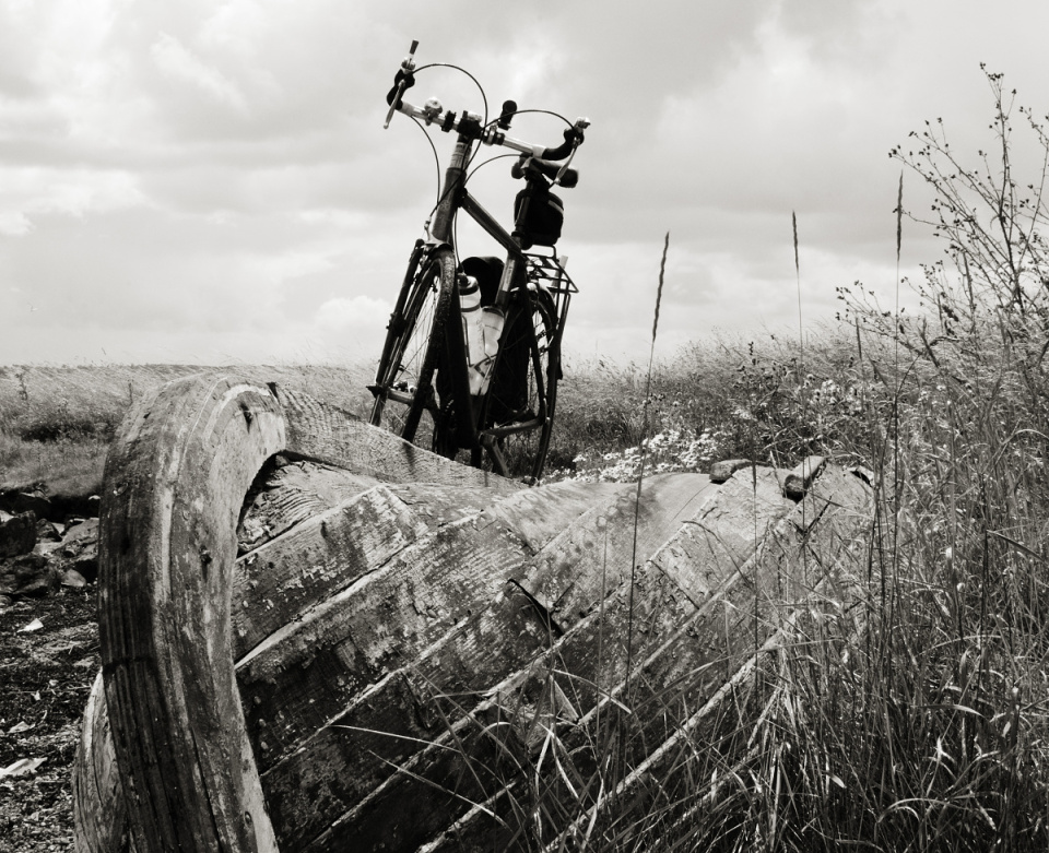
sunken and overgrown
I didn't want to lug an old motoring atlas around with me so I picked a route which I reckoned could be followed through on-the-ground signposting alone. In case of emergency I had my Spokes map showing roughly where everything is but in case of absence or inclarity of signage I was relying on the phone in my bag, which once confirmed that the unsigned turn I'd taken was the correct one and later provided just enough information from Cyclestreets.net and the BikeHub app to confirm an alternative route when the signed route temporarily ended at a locked gate. I was also able to use the blip-geotagging map to work out exactly where this boat was. I don't like relying solely on electronic mapping when venturing somewhere I don't know well but it's extremely useful as a source of suggestions and possibilities, either when planning a route at home prior to heading out or when investigating from the roadside where an interesting-looking turning will take you.
Not wanting to do an out-with-the-wind-back-against-it thing I chose to head west-first today whilst Nicky and Edgar were visiting people in Livingston. Whilst I was forewarned of the poor quality of some of the round-the-Forth NCN76 I wasn't expecting it to be quite to pisstakingly swithering and cyclocrossy. I recorded a selection of the most amusingly varied surfaces (only remembering to swivel the lens on the camera back to horizontal when filming Longannet, though the most what-the-fuck bits are safely back on the other side) and shall mash them together at some point. Fortunately the cheat of skipping out the Stirling section by nipping across the Kincardine bridge is available. When I stopped to refuel at Grangemouth I bought a coffee but ended up forgetting about it in my haste to stuff my face and accidentally littered the bicycle-parking near the Asda staff entrance, though as the cup was mostly full it's unlikely to blow away or over prior to being noticed and disposed of properly.


Comments
Sign in or get an account to comment.


