
Mapping History
I have a lot of books to read. The latest one arrived this week.
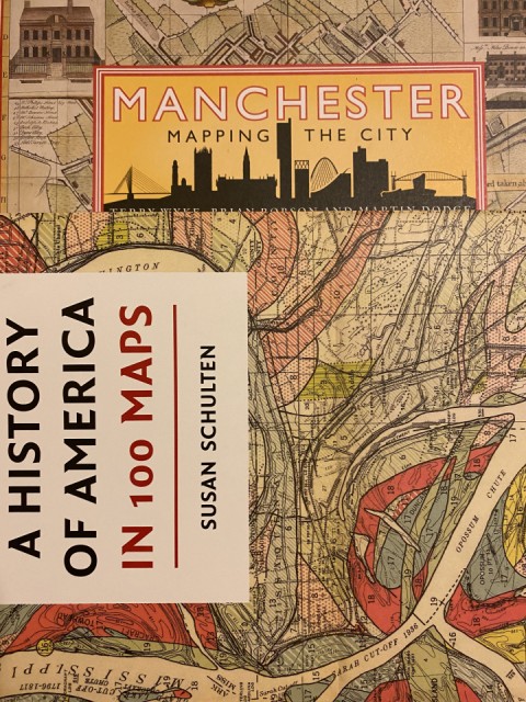
Following my retirement I received some books - I love a good book. I also love maps. And I find history fascinating. So the two titles in this image work well for me.
A history of America in 100 Maps by Susan Schulten features maps in the British Library. The first map is the world that Columbus knew, Henricus Martellus Germanus’s world map of 1490. There is no Western Hemisphere, Asia lies west of Europe (Columbus died thinking he had reached Asia and the East Indies). It ends with a series of maps featuring North Carolina’s 12th congressional district 1992 - 2016, illustrating gerrymandering in the digital age. And Laura Kurgen’s sobering “Around Ground Zero”.
The second book arrived this week, Manchester - Mapping the City by Terry Wyke, Brian Robson and Martin Dodge. The first map isn’t a map but a panoramic view - the south- west prospect of Manchester of 1728. The last map is one of 2016 which focusses on the wider city region. In functional terms “Manchester” is a much bigger entity than the peculiar administrative boundary of the city of Manchester admits ( which explains why Manchester United’s ground sits outside the city). The focus of this book reflects that reality.
Maps can verge on the abstract.
Comments
Sign in or get an account to comment.


