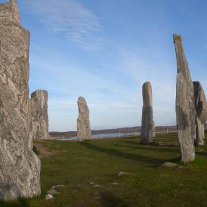
Looks lovely from here!
To be honest it was a gorgeous day, despite being below zero (yeah I know, southerner!). So despite getting some lovely pictures of the countryside when I was out on the bike, this summed up the day.
I'll refer now to the OpenStreetMap project, whose history is best explained here, and it's been invaluable for creating maps which would not have been commercially viable for gps providers to survey.
As mentioned in a previous blip, I was mapping the upgraded paths in the woods which have been gritted over terra matting (think that's what it's called) to create walking / cycling routes. Then once at home, a steep learning curve on the open street map website to redefine the surface, split or join where parts of the route existed as random paths and finally rejoin the bits with a single name. In theory, this should enable people to route along this if their mapping system uses open street map data (I use RideWithGPS, for example). I got all of the three routes surveyed and recorded on GPS, and have mapped one. The rest will be much faster to finish off tomorrow and I'm tempted to seek out another venue to repeat the process and importantly embed it in my memory!
I've no idea how long it will take for the edits to get to the base maps on my gps - I use Wahoo, which I think uses OSM as its data source. But one day it will be satisfying to be routed along 'my' track and know that anyone else can as well.

Comments
Sign in or get an account to comment.


