
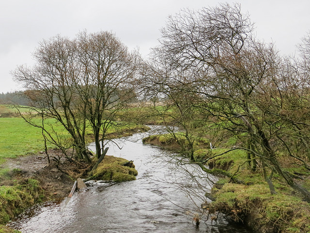
Water of Leith at Haughhead
The is the Water of Leith just a few mile from its source at Haughhead, snaking its way across some flat ground before it tumbles down to the sea.
A few miles up stream, it leaves the Harperrig Reservoir 300m above sea level. Here we are about 185m above sea level, at a relatively flat point in the river's descent to sea level.
Only a few years ago, the road used to ford the river at this point, but now there is a modern bridge, from which I can take this photo without getting my feet wet. That's despite the fact the road signs for the ford are still there at either end of the road.
Comments
Sign in or get an account to comment.


