
Composite
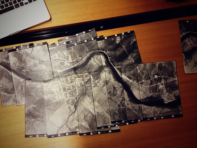
Back in the day, before satellites bounced photos to computers, they had people who flew carefully over the land, taking photos of all they saw. They could then use the photos, once developed, to create accurate maps of the area.
Seventy years later historians come to fossick through them, piecing them together, admiring the area before it was blighted by suburbia and all traces of the preceding centuries were erased by concrete and solar panels.
Comments
Sign in or get an account to comment.


