
Yeavering Bell hill fort
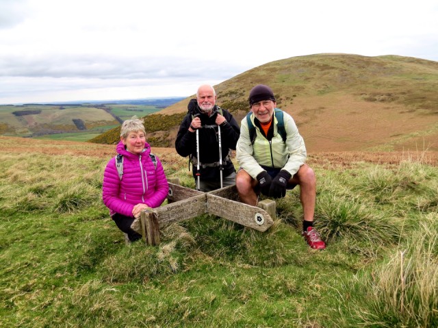
The guests appeared at 8 so I was organised, but as Chris needed a 45 minute run before breakfast then a shower, and Rick requested a cooked breakfast, it was gone 10 before we got out for our walk. We drove to Wooler and took a path above Akeld in a westerly direction, to climb up to Yeavering Bell hill Fort, where we had our soup and sandwich. From there we could see the sea to the north east, Eildon Hills in the north west, and Cheviot in the south. We then headed towards the bit of St Cithbert's Way that goes between the College Valley and Wooler - here they are at the sign. From there it was a moorland walk back to the car. 9.1 miles. I think I dozed off in the bath.
Mr C had planned the walk, and had downloaded and enlarged the bit of map we needed, and Rick had the 50,000 Ordnance Survey. However he needed to hold it upside down and all ways round to work out where we were. Mr C and I have the spatial awareness to use the map the right way up, even if we are walking west and not north. This caused confusion between the two chaps, when trying to name various hills. Rick is still perusing his map over a beer.
I'm making some garlic mushrooms for starter. Then it is a simple supper of grilled salmon, potatoes, kale and broccoli followed by fresh pineapple and kiwi fruit.
113
views
- 10
- 0
Comments
Sign in or get an account to comment.


