Right on the edge...
...of the City of Leicester.
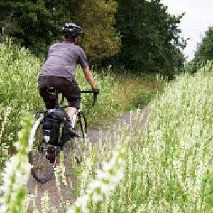
This boundary marker is on the Great Central Way, National Cycle Network Route 6, south of the city centre and marks where you pass from the city into Blaby District, which is where I was working today.
Down to the council's offices in Narborough is 14 miles from home and, I've just measured it, 10.7 miles of that is off-road and away from the highway, which is excellent and makes for a lovely commute, especially through the Soar Valley corridor.

Comments
Sign in or get an account to comment.


