EveryDay Ideas 4
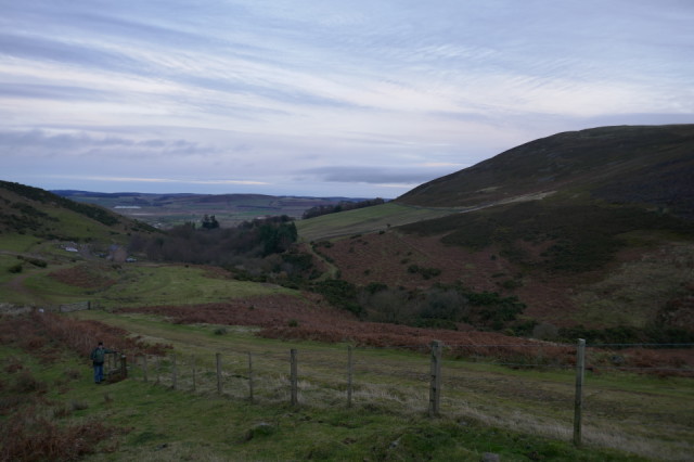
So, after yesterday's bright idea to make a commitment to refresh my compass and map reading skills - I took to the hills; the Cheviots in this case.
It all came in useful, especially once we were half way around the 10 mile hike to Yeavering Bell. We found ourselves lost! The compass was the key to set a path to intersect where we should have been. This is not easy in the wilds of Northumberland, as it is the least inhabited part of England, very bleak but incredibly panoramic, and you rarely see other human beings. Bliss....
We managed to get back to the car after darkness descended - whereupon my small wind up torch was a life saver - especially through a forest in the pitch black. I have to own up that I did cheat at one stage and use the Ordnance Survey application, OS Locate, on my phone to pin point us on the map. This app is also a life saver and highly recommended if you do not have a dedicated GPS. Next time, we will attempt to go completely solo without any GPS help.
Idea for today, born out of harsh experience of getting lost. Better signage for walkers. They were very sparse and often confusing. If you have ever walked in Germany - you will know what I mean. Over there the signs for walkers are fantastic, with information also for distance and durations between waypoints and at every confusing intersection of paths.
So, let's rethink those signs in the wild parts of the countryside, hills and moors.
66
views
- 1
- 0
- Panasonic DMC-TZ100
- 1/125
- f/2.8
- 9mm
- 125
Comments
Sign in or get an account to comment.


