
Shadows and shapes
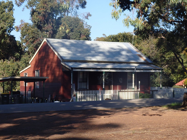
This is an old house once belonging to the forestry in Jarrahdale most of the old forestry houses are privately owned now and have been restored, we went for a drive today and spent the day here, we've been here many times, below is a bit of history of the town I googled on Wikipedia.
Jarrahdale is a small historic town located 45 km south-east of Perth, Western Australia in the Darling Range. The name is derived from its situation in a jarrah forest. Established in the late 1800s as the state's first major timber milling operation, it played a key role in the development of Western Australia through the exportation of jarrah around the world
The Jarrahdale Timber Company constructed a railway for the transport of timber from Jarrahdale through Mundijong to Rockingham. In 1872 the townsite was granted timber concessions and the town was born.
The locality was destroyed by an 1895 bushfire and the town was relocated west of its original position.
Historic buildings in the area include a mill manager's house, nurses' quarters/hospital, general store, single men's quarters, Gianatti store, Murray Arms/Jarrahdale Tavern/Rileys Bar, churches, post office and other buildings. A POW camp was located outside the town during World War II. Recently the old mill office, behind the nurses' quarters, was destroyed by fire, a recurring hazard throughout the township's history.
The population of the town was 600 (400 males and 200 females) in 1898.
On 14 July 1997, the Jarrahdale townsite was entered on the National Trust's List of Classified Heritage places, the seventh Western Australian town to be so classified.
Fills today's chantler63 challenge for Saturday: shapes and shadows ...
Comments
Sign in or get an account to comment.


