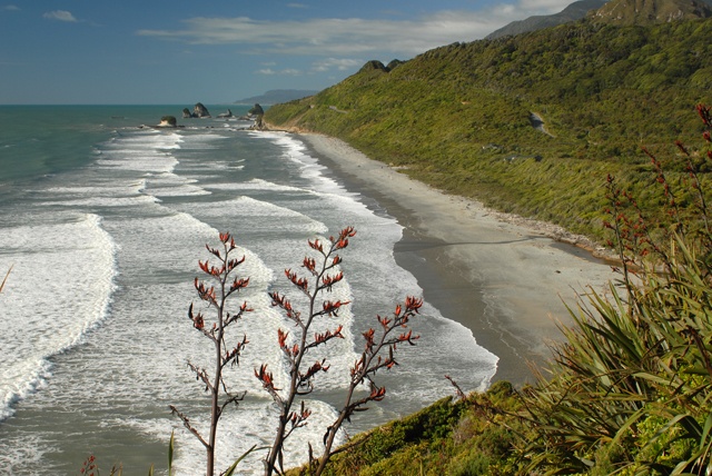
Coastline - West Coast
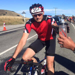
Mrs KD is planning to do an adventure race in 3 weeks time, called the Croesus Crossing. So today we did the route as a training exercise.
Starting at Barrytown at sea level, the first thing you do is run/jog/walk up the extremely steep Mt Ryall - 1200 metres. That's 4,000 feet. To UK Blippers, that's approaching Ben Nevis, the highest peak in the British Isles (4,400 feet), but on this we start from sea level.
Then it's a jog/walk on rough terrain across the undulating tops with views to die for.
Finally, there's a long, gentle descent (hell on the knees), on still very rough terrain, to finish at Blackball, 26 kilometres later. The last five km is on a shingle road, which I opted out of (we had dropped a second car around to this end first and took the opportunity to take it up this road and save me the extra bit at the end). Mrs KD did this last 5 km as she's the one doing the real event in 3 weeks - I was just lending moral support!
I took this photo on the drive back to Hokitika.
Comments
Sign in or get an account to comment.


