Water Infrastructure
Hospital day today, so after an hour with J more exploration of the environs of Runcorn this morning. I decided to have a look at the area to the immediate west of where I walked last week. Between the M56 and the Ship Canal it felt isolated, and in the wrong weather would be a pretty desolate place. Fortunately, it was the right weather (although no sun).
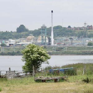
The water infrastructure around here is impressive. In the image is the Manchester Ship Canal in the foreground. Behind the Ship Canal is the Mersey estuary. Industry and docks hug Runcorn’s edge, and the Ship Canal also hugs the edge of the town, wrapping itself around the town (and meaning there is no public access to the waterside for most of its route). In the extra, another view of the Ship Canal, taken by the side of the canal visible in the main image. This view shows a third water body, as it is the point at which the River Weaver/Weaver navigation joins the Ship Canal. In effect the river feeds the canal, and when there is too much water sluices on the canal release it into the estuary. Those victorians knew a thing or two about engineering. I still find it amazing that the Ship Canal was dug by hand, no modern machinery but Irish navvies.


Comments
Sign in or get an account to comment.


