
THE POINT
I am not sure about this blip – but here goes !
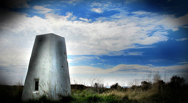
Trigpoints - the common name for triangulation pillars - are concrete pillars, just over one metre tall, used by the Ordnance Survey in the UK to determine the exact shape of the country. The project to map out the shape of Great Britain began in 1936.
They are usually located on the highest bit of ground in an area, so that there is a direct line of sight from one to the next. By sitting a theodolite on the top of the pillar, accurate angles between pairs of nearby trigpoints could be measured.
This point is high on the North Yorkshire Moors, above Helmsley.
Comments
Sign in or get an account to comment.


